2 IN PORT MARIA, ANOTHER IN ANNOTTO BAY TO FIGHT CRIME, GANG VIOLENCE
Three areas in St Mary have been simultaneously placed under curfew starting Wednesday evening, January 15, 2025.
Two of the areas Albion Mountain and Free Hill are in and around Port Maria and the other is in Annotto Bay.
The Port Maria and Annotto Bay experienced curfews within the last six months but at different times.
This is the first time, from North Coast Times records that a curfew will be imposed in St Mary in more than one area.
The curfew orders took effect at 6:00 PM Wednesday, January 15, 2025, and will run until 6:00 PM Friday, January 17, 2025.
According to the Jamaica Constabulary Force (JCF), “This decision is aimed at curbing the ongoing gang conflicts and violent incidents that have disrupted public safety and confidence in the affected communities.”
The imposition of these curfews follows increased gang activity, arson, shootings, and potential reprisals, which have heightened public fear and eroded trust in these areas. Immediate action is necessary to restore order, protect residents, and prevent further escalation.
The curfews will be implemented in Enfield (Annotto Bay), Albion Mountain (Port Maria), and Free Hill (Port Maria).
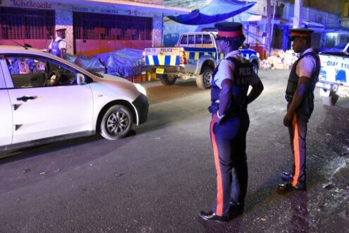
BOUNDARIES OF THE CURFEW AREAS
-
Enfield (Annotto Bay)
North: Along a section of the Iterboreale Main Road near the National Water Commission pump site, extending 458 meters east to the Dry River Bridge.
East: From the Dry River Bridge, extending 6,622 meters south to a section of the Enfield community known as Forty-One (41).
South: From Forty-One (41) Square, 500 meters west along an imaginary line.
West: From the end of the imaginary line at Forty-One (41), extending 7,313 meters north to the starting point near the National Water Commission pump station.
-
Albion Mountain (Port Maria)
North: at a section of Top Mountain in the vicinity of the Albion Mountain Square. An imaginary line runs approximately 1,675 meters east to a section of the Trinity Land Main Road.
East: along a section of the Trinity Land Main Road. An imaginary line runs approximately 1,517 meters south to a Y-junction intersection along a section of the Cox Street Main Road.
South: along Cox Street Main Road at the Y-junction intersection, veering left to Roslyn Road and right to Trinity Land Main Road. An imaginary line runs approximately 1,897 meters west to a section of Roslyn Road.
West: along a section of Roslyn Road. An imaginary line runs approximately 1,451 meters north to a section of Top Mountain in the vicinity of the Albion Mountain Square..
-
Free Hill (Port Maria)
North: Along a section of Free Hill, running 1,675 meters east to a section of Trinity Land
East: Along Trinity Land, running 1,517 meters south to section of Cox Street Main Road.
South: Along Cox Street Main Road, running 1,897 meters west to a section of Roslyn Road.
West: Along Roslyn Road, running 1,451 meters north to a section of Free Hill.
Residents are reminded to adhere to the curfew guidelines and cooperate fully with the authorities. The JCF will maintain a visible presence throughout the duration of the curfews to ensure public safety.


